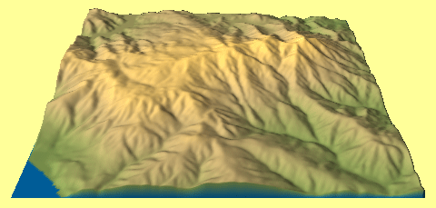
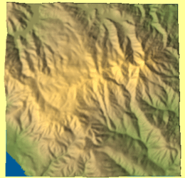
Mt. Tamalpais is the highest mountain in Marin County, which is just to the north of the Golden Gate. I used 3Dem software to create the following projected images of USGS DEM files on this page.
Side View of Mt. Tamalpais Terrain
North
![]()
South
Overhead View of Mt. Tamalpais Terrain
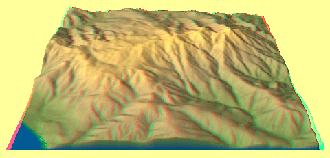
Different Views of Mt. Tamalpais
Take a tour around Mt. Tamalpais to see how the mountain's appearance changes...
View animated image
![]()
(These may take time to download. Please be patient...)
More Mt. Tamalpais Information
If you want to visit or learn more about Mt. Tamalpais, check out these great URLs:
- Mt. Tamalpais State Park (views poorly in early (4.x) Netscape versions )
- Mt. Tamalpais Interpretive Association