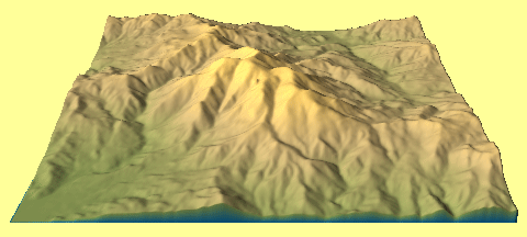
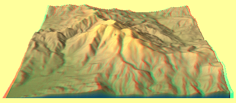
Mt. St. Helena is the highest mountain in Napa County, and it is visible from all over the wine-rich Napa Valley. I used 3Dem software to create the following projected images of USGS DEM files on this page.
Side View of Mt. St. Helena Terrain
North
![]()
South
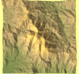
Overhead View of Mt. St. Helena Terrain
Different Views of Mt. St. Helena
Take a tour around Mt. St. Helena to see how the mountain's appearance changes...
View animated image
![]()
(This may take time to download. Please be patient...)